Ride the Ho Chi Minh Trail on one of my motorbike tour from Hanoi to Saigon and experience Vietnam through its history, landscapes, and culture. This 12 to 16 day journey includes riding days with rest stops along the coast and in key cities. The trail is a historic wartime network through the Truong Son mountains, now partly developed into the Ho Chi Minh Highway. It is worth it for riders seeking the best mix of jungle roads, mountain passes, war sites, and coastal towns. The route connects remote regions with central highlands and beach destinations. Each stage offers a different riding experience across the length of the country.
Ho Chi Minh Trail Motorbike Tours, Hanoi to Saigon
Ride from Hanoi to Saigon along the legendary Ho Chi Minh Trail and Vietnam’s coastline for a complete cross-country travel. This route follows the spine of the country through mountains, jungles, historic sites, and coastal roads, delivering one of the most rewarding long-distance motorbike experiences in Southeast Asia. The Ho Chi Minh Trail is one of the most historically significant and logistically complex routes ever built, running through remote mountain roads across central Vietnam and into Laos.
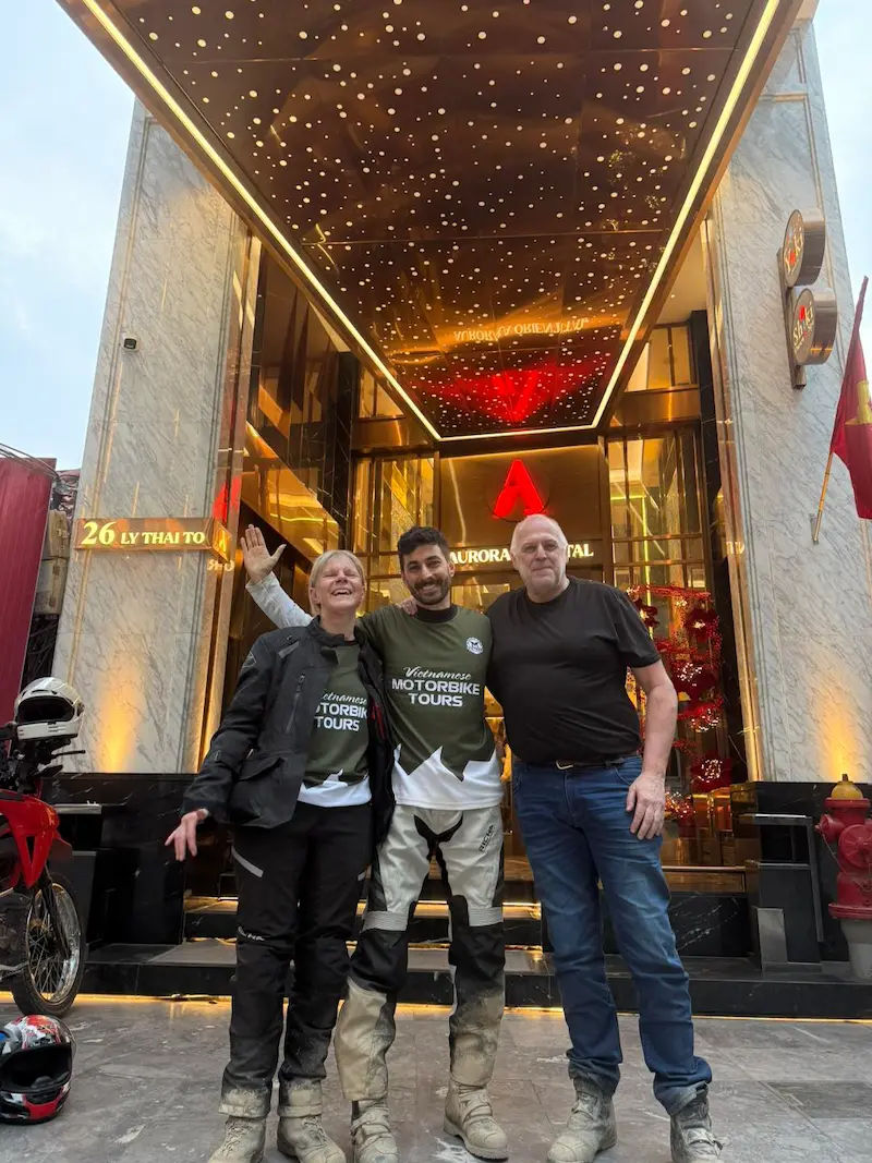
The rides are led by Hamid, who has been guiding motorcycle tours across Vietnam since 2013, i can customize this route base don your riding experience, places of interests and duration of rides, from 10 to 16 days.
The journey begins in Hanoi and heads south, following routes that parallel the Laos border and sections of the historic Ho Chi Minh Trail. We will be riding through national parks, historic battle zones, and ethnic villages rarely visited by mainstream tourism. Key highlights include the DMZ, Phong Nha, Khe Sanh, and the Central Highlands & war battlefields of Ia Drang valley.
Further south, the route drops toward the coastline for time to relax before continuing through beach towns and mountain passes. The ride finishes in Ho Chi Minh City (Saigon), marking the completion of a true cross-country adventure across Vietnam.
Hanoi to Saigon: Riding Style & road conditions
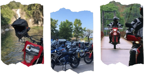
The route combines paved mountain roads with sections of dirt tracks and backcountry trails close to the Laos and further to Cambodian border. It is best suited to riders with intermediate experience who are comfortable handling mixed terrain. The quiet countryside roads connect towns, while off-road sections add a bit of fun and variety depending on weather conditions.
Routes can be tailored based on rider ability and preference, with options to include more dirt rides sections or focus on scenic paved riding. Most sections are easy to moderate, with long stretches of paved roads and some optional off-road detours.
The destinations on the Hanoi to Saigon ride
Hanoi – Mai Chau – Vinh – Phong Nha – Khe Sanh – Hue – Hoi An – Kon Tum – Quy Nhon – Nha Trang – Da Lat – Phan Thiet – Saigon
Why Ride the Ho Chi Minh Trail?
Simply appealed to riders looking for the long distance rides and an adventure on different types of roads (dirt, paved backroads, coastal roads). Additionally, it offers a fully different experience compare to the northern region and riders can travel the length of Vietnam and visit the must see cities as well.
In addition, riders can enjoy a mix of On and Off-road sections, dirt trail rides while passing through national parks, war sites and rivers, waterfalls, and coffee plantations.
Tour Length Options
Popular options include 12 to 16 day tours (this can be squeezed to 10 days as well) to ride from Hanoi to Ho Chi Minh City. Each option follows key sections of the Ho Chi Minh Trail, plus i can customize it to suit rider’s traveling expectations, visiting tourist sites, war era battle fields while adding 1-2 resting days in between. The longer routes can extend into Laos, offering quieter roads, deeper jungle landscapes, and a more remote riding experience across borders.
Plan Your Ho Chi Minh Trail Adventure
I’m Hamid from IRTouring. I offer custom motorcycle tours across Vietnam and Laos for real adventure. Ride reliable Honda XR150, CRF250, and CB500x and the BMW GS bikes into remote places most travelers never reach.